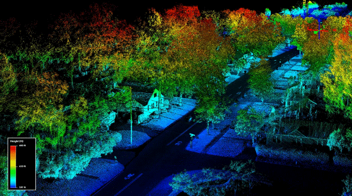
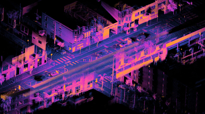
LiDAR, short for Light Detection and Ranging, is a technology that uses laser light to measure the distance between an object and an observer, building up a pixel-like view of the world known as a point cloud.
What can you do with a LiDAR laser scanner? LiDAR is a mapping technology that uses laser light to measure distance to a target surface. In short, it generates a 3D map of anything, from a single room to large areas of terrain, with astonishing precision — down to the millimetre. Every object visible to the laser scanner is scanned and reproduced in 3D.
Demo video
Here are several great applications of this technology:
Surveying
It enables high-precision surveys of buildings, land, quarries and more.
From the scan you can obtain floor plans, sections, volume calculations and much more.
The point cloud is a perfect base from which to model an object — a building, for example, but also plumbing and MEP systems, and anything else visible during the scan.
Excellent for reproducing the as-built condition of a building, for example for the BIM methodology.
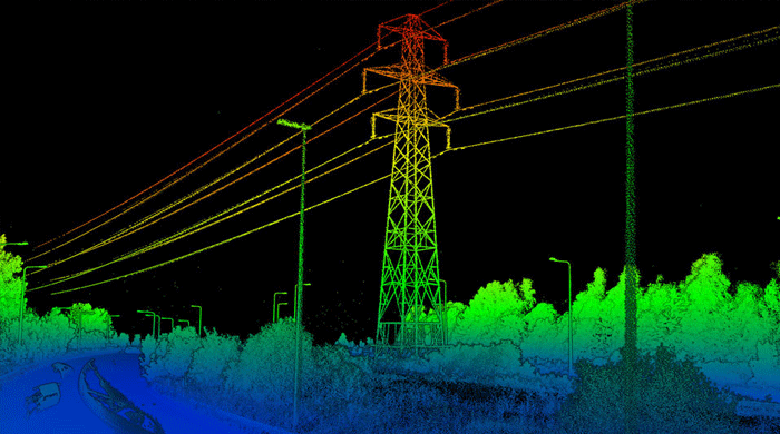
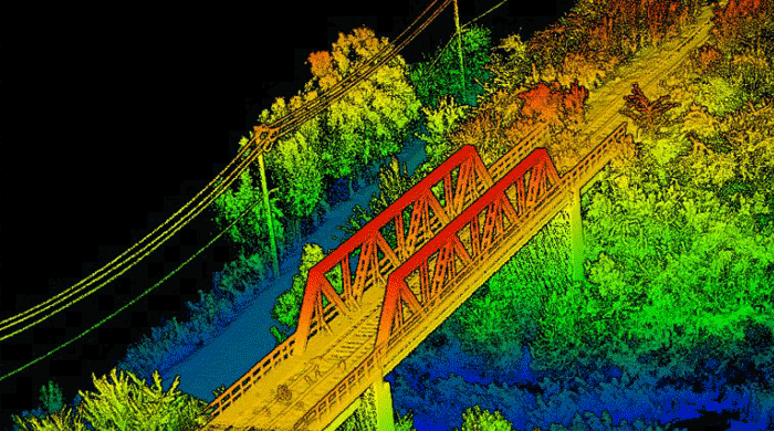
A laser scanner also allows the measurement of distant or inaccessible objects — vertical building façades, monuments, power lines, railways and more — all of which can be reproduced in 2D CAD or reconstructed in 3D.
The laser has excellent penetration through vegetation, making it possible to obtain terrain morphology data even where trees, shrubs or tall grass are present.
Virtual tours
From a scan you can obtain 3D and 2D virtual representations of an area, which can be used to create 360° virtual tours — increasingly popular online.
Tourism and park management
LiDAR data is invaluable for tourism and park management; data analysis identifies the best areas for various uses, such as where to build playgrounds, rides and pedestrian paths.
Gaming
Using LiDAR, you can digitally recreate any physical object, producing detailed and accurate models in very little time. In games, this opens up a world of possibilities, allowing developers to recreate entire cities and locations identical to their real-world counterparts.
Archaeology
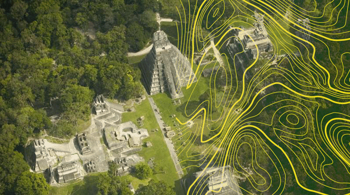
LiDAR has proven invaluable to archaeologists — as in the mapping of ancient Pompeii — helping them plan fieldwork and observe patterns not visible from the ground. With this technology it is also possible to reveal micro-topography (DEM) hidden beneath trees and shrubs.