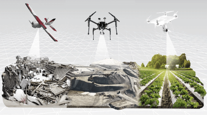
We have a fleet of 13 drones, both multirotor and fixed-wing, fitted with multiple sensors including infrared, near-infrared and high-resolution photography.
We can easily survey areas of several hectares and produce a high-precision three-dimensional model, with an average error of 3-4 cm.
From this model we generate site plans, DEM (digital elevation model) files, contour lines, volumetric calculations and more
Demo video